Pacific · United States, Australia and New Zealand vs Japan
Bougainville Campaign
1 November 1943 – 21 August 1945
Marines landed at Empress Augusta Bay on the west coast of Bougainville to build airfields within range of Rabaul, deliberately choosing a spot far from the main Japanese garrisons. The Americans held a fortified perimeter and beat off one major counterattack in March 1944. Australian troops took over in late 1944 and pushed outward until the Japanese surrender.
Explore Bougainville Campaign on the interactive map · Wikipedia
Day by day
— Cape Torokina
The 3rd Marine Division lands at 07:26 on a stretch of black sand nobody wanted, 60 kilometres of jungle and mountain from the Japanese garrisons at Buin and Buka. The surf and the mud cost more than the 270 defenders do. The point is not the island but the ground for three airfields inside fighter range of Rabaul.
— Empress Augusta Bay
Omori comes down from Rabaul in the dark with four cruisers and six destroyers to break up the transports. Merrill's four light cruisers hold him off with radar-laid gunfire and circles at 30 knots for three hours, sinking the cruiser Sendai and the destroyer Hatsukaze for damage to two ships. Omori turns back at 03:37 without seeing a transport.
— Cape St George
Burke takes five destroyers of Squadron 23 into the water between Cape St George and Buka to catch the runs feeding the garrison. Radar gives him the first sighting; his torpedoes sink Onami and Makinami before the Japanese know he is there, and gunfire catches Yugiri in the chase. No American ship is touched, and the destroyer traffic to Bougainville stops.
— The counter-offensive
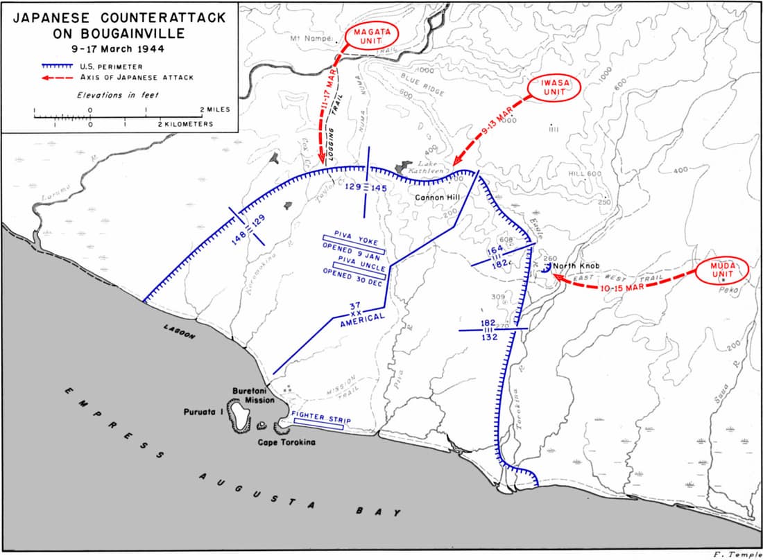
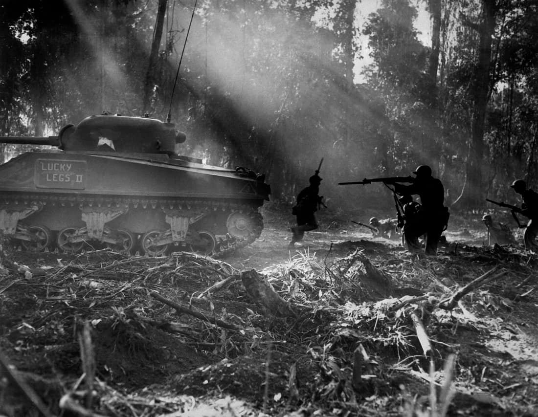
Hyakutake brought 15,000 men over the mountains and attacked the perimeter on 9 March, mainly at Hill 700 in the 37th Division's sector and Hill 260 in the Americal's. Both hills change hands and are retaken. By 24 March the attack is spent, with about 5,500 Japanese dead against 263 Americans, and Hyakutake orders the survivors back.
— The Australians take over
Savige's II Corps relieves the Americans and, unlike them, is ordered to clear the island rather than sit on the perimeter. Three drives open: north along the coast toward Soraken and Bonis, east over the Numa Numa trail, and south down the coast toward Buin, where most of the Japanese are. The 3rd Division does the southern work.
— Laying down arms
The southern drive reached the Puriata in March and was counter-attacked at Slater's Knoll from 28 March to 6 April, where the Japanese lost some 620 men against 189 Australian casualties. The advance was over the Hongorai and short of Buin when the war ended. Kanda agrees to lay down arms on 21 August and signs at Torokina on 8 September, with about 23,500 men still alive.
_March_1944.jpg)